
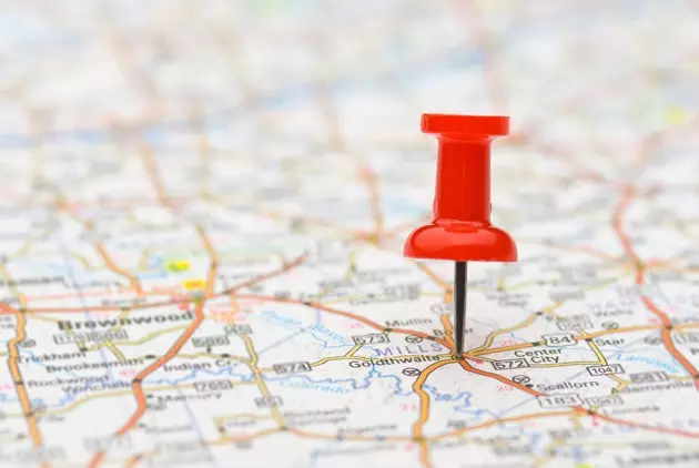
Everything in its place
If you are new to the subject, you should know that you don't need anything from the other world to create your photo map . Any last generation phone has a GPS and a camera. That is enough. But if you want to do them with a real camera, there are more and more that also incorporate a geolocator.
If you don't have one of those cameras but you do have a GPS-enabled phone, you can get the two things to work together. The Geotag Photos app, for iPhone and Android, does it . For it to work exactly, all you have to do is synchronize the time of the camera and the phone and then activate the application to trace the route you take while taking photos.
When you get home you just have to download the images to your computer using a free program also from Geotag Photos that will take care of automatically crossing the data of the dates of the photos with those of the location of the phone . A fairly simple operation to ensure that your photos have geographic information. Now you just need to create the map.
Two solutions: Google and Apple You've probably heard **Apple being booed for the shoddy maps** it's equipped the iPhone 5 with. They've even created a Tumblr to show off the myriad of bugs they contain. The reason for this slip is in the war that Apple has with Google on several fronts. Those of the apple have dispensed with the search engine maps on their devices, as they have been doing until now. To keep us oblivious to the battle, We recommend two different options (from Google and Apple) to create your map.
Google has a program to classify photos that is quite effective and free . It is the popular Picasa , which works quite well. If you took the photos with a device that has captured location information or used Geotag Photos, will automatically appear on a map after adding them to Picasa.
If the images do not have that information you can add it easily by dragging them to the maps of the program . Although it is a fairly simple operation, we recommend that you do not spend forever looking for the exact place where you took each photo. Or at least not in all cases. Adding them to the area of the city or the place where they were harvested may suffice.
Another quite interesting program, although not free, is Apple iPhoto, very similar to Picasa. The advantage it has over Google is that allows you to create a slideshow in the form of a map . We have made one so you can see the result, which is not bad at all. With iPhoto too you can create printed books (in an Apple store, of course) that include maps of the places you've visited.
Sites not to be forgotten Surely it has ever happened to you that, while traveling through a city by bus or train, you see a place that catches you and you want to know where it is to return . The application Map-A-Pic , available for iPhone and Android phones, is meant to take a picture of those places. after shooting it the image appears on a map on the phone that tells us the exact place where we took it . It has become one of the favorite applications used by photographers to capture locations.
When you are doing photographic mapping, do not forget to turn off the GPS of your mobile or camera when you do not need it or do not want it to record your position. that you It will prevent you from draining your battery or recording geographic information that you prefer not to broadcast..
Another thing you should keep in mind is that if you upload a photo to the internet with its geographical position, anyone can see where it was taken. And that can be very compromised in certain cases. To make sure that an image does not have geographic information, you can use the program PhotoLinker , which is responsible for removing that class of data.
Many social networks automatically create maps with your photos . We recommend that you use Flickr, which, although it is in the doldrums, still has better features for posting photos. Its system to geolocate images has improved after the agreement reached with Nokia to use its cartography. You can also easily create a map of your Flickr photos on Google Maps with the iMap Flickr tool.
As you can see, there are many options for you to easily organize your photos by the place where they were taken. But your creativity also plays an important role when using these tools. Also your common sense: After all, sometimes the most interesting thing about a photo is precisely its mystery. For those, the best map is the one that each one draws in his memory.
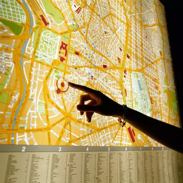
Where is my photo?