
We have a new challenge for you...
Do you know the real size of countries and continents? is the title of the test that Lieselot Lapon , a doctoral student at the Department of Geography at the University of Ghent, has created as part of her fieldwork on the influence that maps and their projections have on our vision of the world.
“The goal is to reach as many people as possible to collect data in an attractive way. With this information, we would like to find out if the place where you live or study influences the way you see the world” Lapon explains to Traveler.es.
“We also want to analyze if this changes with age and we are trying to achieve global coverage so we can establish how people act on the basis of their school systems”.
Do you distort or not?
So far, the response has been positive: it was launched on January 18 and in mid-March it was already has exceeded 100,000 participants from 186 different countries.
“We didn't expect him to become so famous. They have already included it in geography classes in Iceland, the United States, Poland and Belgium” , says Lapon.
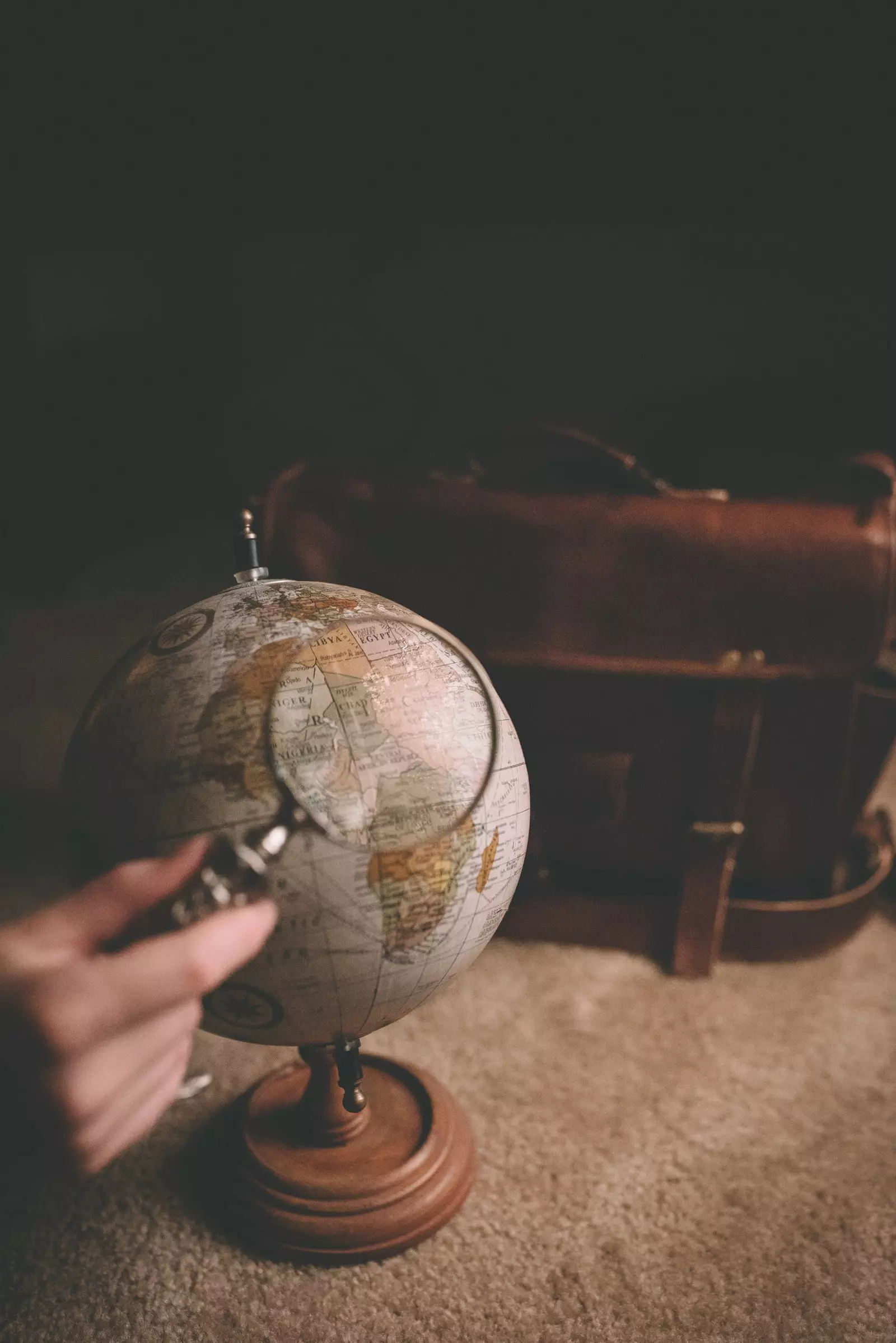
To participate in the test, just use the – and + buttons that will appear on your screen to try to estimate, through comparison, the actual size of the countries and continents shown.
“The score obtained is a good indicator of your estimates compared to the actual proportions of the countries. Also, with the feedback tool (the play button next to the scores), you can interactively check the degree of success or error in each phase of the test.
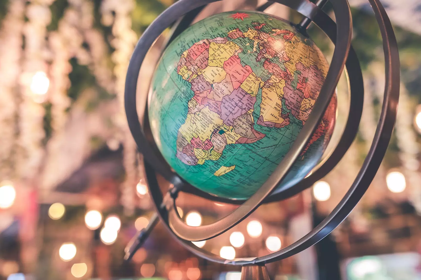
And yes, face it, distortion is served because the perfect map does not exist. "The balloon is the only thing that is not distorted," says Lapon. This in itself would not be a problem if we knew how to choose the projection that best suits our needs at all times.
Any map has degrees of distortion
“For example, the Mercator projection was originally developed for navigation, but is now used for web maps like Google Maps. Not always a good choice, as this projection stretches the surfaces towards the poles, but preserves the shape of the objects. Europe, North America, and Russia are represented much larger when compared to areas near the equator, such as Africa and South America,” she explains.
“The main problem is that people are not always aware of these distortions and are exposed to misinterpreting the data. If you look at a map on the internet, like Google Maps, Greenland is represented almost as big as Africa when, in reality, Greenland is 14 times smaller than Africa”, she says.
“With the development of this test, we would like the participants to be aware of how distorted maps and our view of the world can be” she reflects.
Lapon will analyze the data obtained in september 2019 , coinciding with the moment of defending his thesis. After this, the test will continue online for educational purposes because she, as a cartographer, assures that it is important that "Young people be aware of the influence of map projections."
We play?
Do you really know what the size of the countries is?