
In the middle of the 8th century, news spread from the Peninsula to Europe: Santiago's tomb has appeared in Galicia! A miracle of such caliber awakened a religiosity that was only equaled in pilgrimages to Rome, and Hundreds of pilgrims left for the passes of the Pyrenees. They took the only passable road that, avoiding the lands of the Muslims, could lead them to Compostela; a path that did not exist, for the Romans had never thought of it. The Camino del Norte was, therefore, built on the basis of thousands of steps. And still, to this day, it continues to grow.
Supported by the mountains and flanked by farmhouses, granaries, stone crosses and cider houses, the path will never be long for those who appreciate wild landscapes and like to breathe the salt of the sea.
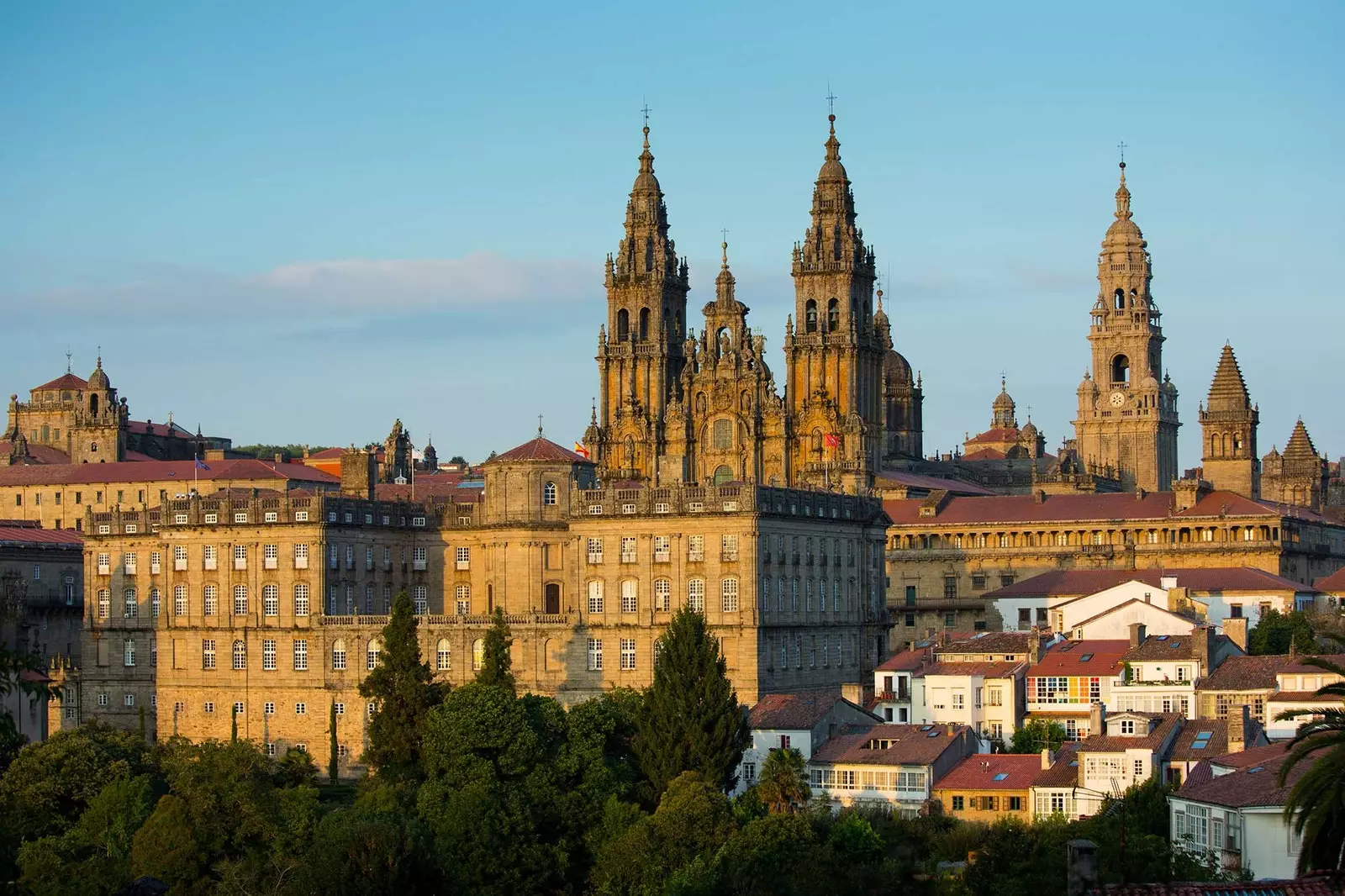
Santiago de Compostela.
THE BASQUE COUNTRY: ROAD BETWEEN THE FLYSCH
The first pilgrims avoided Roncesvalles, a place famous for the defeat of Charlemagne. The betrayal of the Basques to the Frankish emperor brought the Pyrenean passes into disrepute, and the pilgrims had to resort to forgotten paths like the old Roman road that connected Lapurdum (Bayonne) with Oiasso (Irún).
After crossing the Bidasoa, it is recommended stop as long as deemed necessary in the taverns of Hondarribia, Even if days of walking are lost in it. The skewers of txangurro what do they serve at any place in the Marina neighborhood will deserve the effort to reach Compostela.
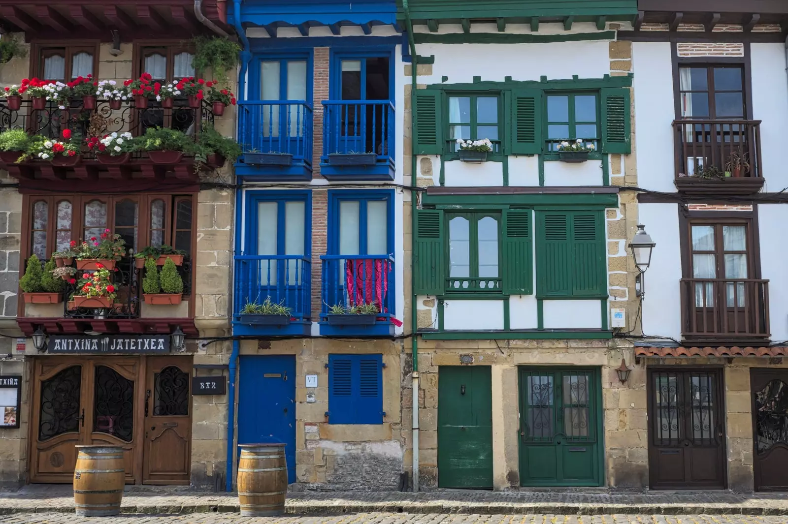
Hondarribia.
The Northern Way passes through San Sebastian, delighting the pilgrim with one of the most characteristic stages of the route: the Paseo de la Concha. once left behind the cosmopolitan elegance of Donosti, the fishing village of Orio and the golden sands of Zarauz, we will arrive at the Basque port par excellence: Guetaria. Between it and the capital of Guipúzcoa there is a world, and also two ways of life.
Saint Sebastian is an aristocrat, and his walks exude fashion, while Getaria smells of fish and greased ropes, characteristic aroma of the Basque ports. The Camino del Norte runs through them through an unparalleled road: the N-634, whose lanes hang from Cantabrian.
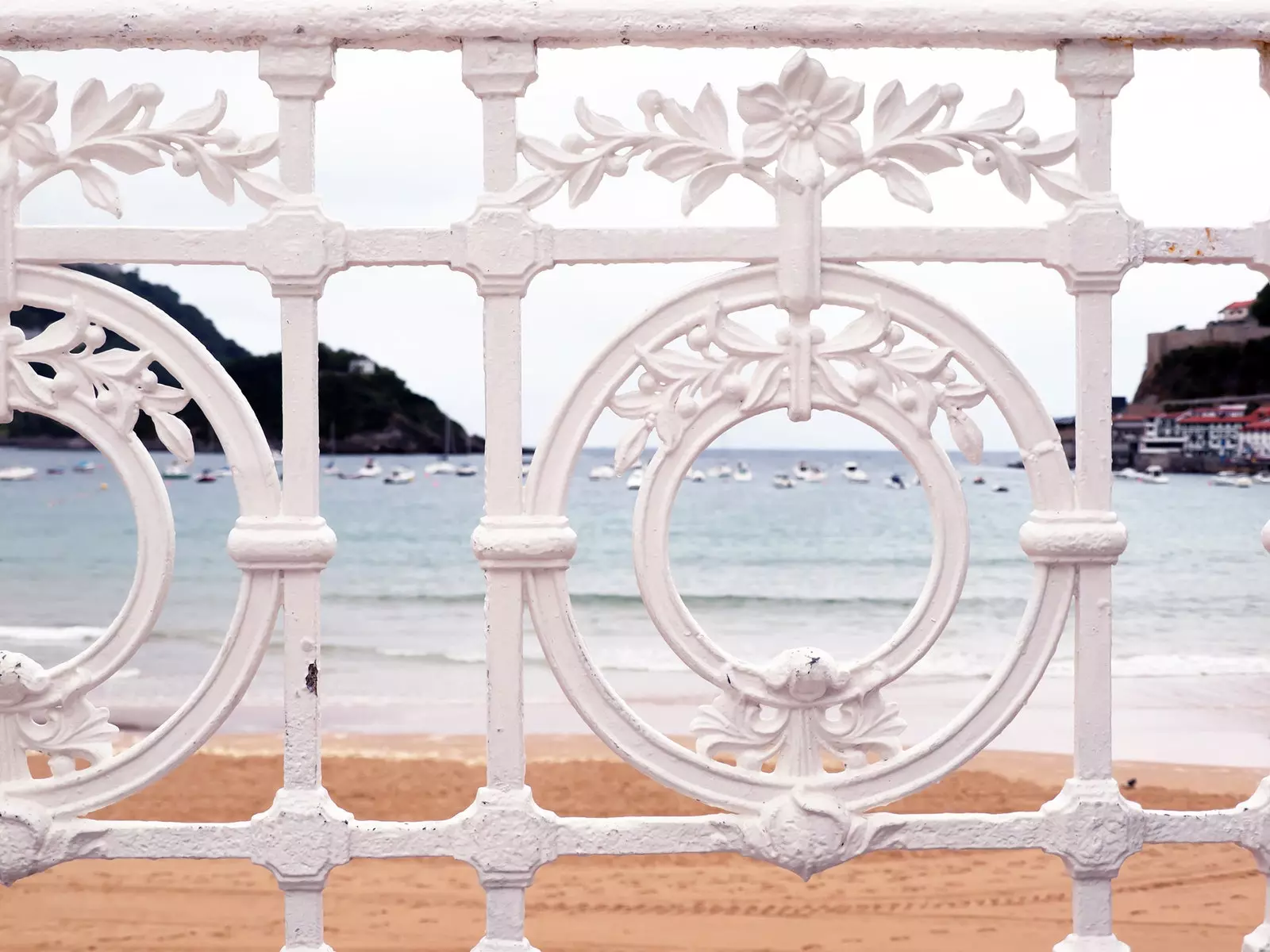
Shell Walk.
One of the most characteristic sections of the Basque stage of the Camino del Norte is the one that runs the Basque Coast Geopark, between Zumaya and Deva. Flysch formations give rise to fantasy cliffs that hide hidden beaches. If it rains, it is convenient to avoid the mud devouring skewers and txacolíes in Goiko, a charming tavern in Zumaia, or tasting stews in the Santuaran, next to the road to Itziar. And if what they need is to eat, sleep and get the stones out of the way, their place is Txindurri Eturri, an enchanted agrotourism located in the middle of the mountain.
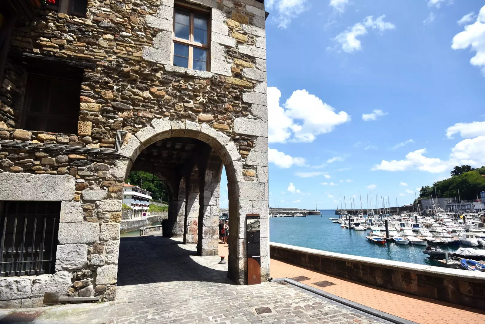
The Basque coast is so narrow that it can be overwhelming. only their fishing villages, such as Motrico, Lequeitio or Deva, they alleviate the permanent feeling that the mountains will fall into the sea at any moment. For this reason, some historians point out that the Camino del Norte never followed a land itinerary through the coast of Biscay, but rather it was a maritime itinerary through the many ports offered by its intricate geography.
The road, sad perhaps for saying goodbye to the sea, he becomes more apathetic as he heads for Bilbao. The Basque coast gives way to factories and industrial estates; Luckily, at the end of the stage he welcomes us Puppy, the Guggenheim flower dog, and fatigue is suddenly forgotten.
Motric.
THE GREEN BEAUTY OF CANTABRIA
The Northern Way is introduced in mountainous lands close to the coast, supported by the cliffs of Monte Candina, the only place in Europe where vultures nest on the waves of the sea. before it goes through Castro Urdiales, the old civilizes roman that many pilgrims used to take the path that leads to Burgos, towards the French Way.
The coastal road is uncomfortable for the legs, with many slopes and rivers to cross, as we can see until we reach Liendo. This valley, one of the most unknown corners of Cantabria, it is a model surrounded by mountains, forests and hills that end in an unusually flat land for the rugged landscape that surrounds it. To the north, Liendo has the beach of San Julián, of towering cliffs not suitable for those who suffer from vertigo.
Laredo.
Once we get past Liendo, Laredo and its lack of taste in building should not distract us from the beautiful walk that involves walking the Salvé beach. Mount Buciero. colossal sentinel, watches over the road and the boat that helps us cross to Santoña, first stage in Trasmiera.
From now on, Cantabria will offer us a continuous show of emerald green meadows dotted with mansions with porticoed facades and red tiles, whose palm trees remind us of the ruined hidalgos who had to emigrate to America and returned rich. The figure of the Indian, like his mansion, will appear recurrently throughout the Camino del Norte, whose path runs in front of many of them.
One of the most beautiful stages offered by the road through the Cantabrian East is the section that runs between Meruelo and Galizano. The real estate bubble did not cause the damage here that can be seen in Noja, Argoños or Escalante.
The meadows surrounding the Romanesque church of Santa María de Bareyo, next to the North road, as well as the marshes of the Ajo estuary that open in front of the temple, they preserve the virginity typical of other times. The church deserves a mention for the beauty of its Romanesque apse, and because its construction is entirely due to the Camino del Norte, which runs at your feet.
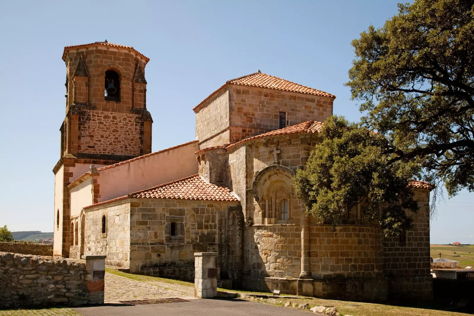
Church of Santa Maria Bareyo.
After admiring the church and walking through the Ajo meadows, it is a good idea to take a detour to the coast to eat in The Cave of the Witches. This grill located at the foot of the Ajo estuary is embedded in a hill overlooking the estuary, and its caves and cavities will delight children and adults.
Its relationship with the road lies in the fact that just a few meters away there is the convent of San Ildefonso, noble building where, since 1756 the pilgrims who crossed the estuary were housed along the jetty that used to stand where La Cueva de las Brujas is today, and which today houses the Interpretation Center of the Camino de Santiago in Ajo. The place, therefore, oozes way on all four sides, and the food, as well as the landscape, will be remembered for the long road to Santiago.
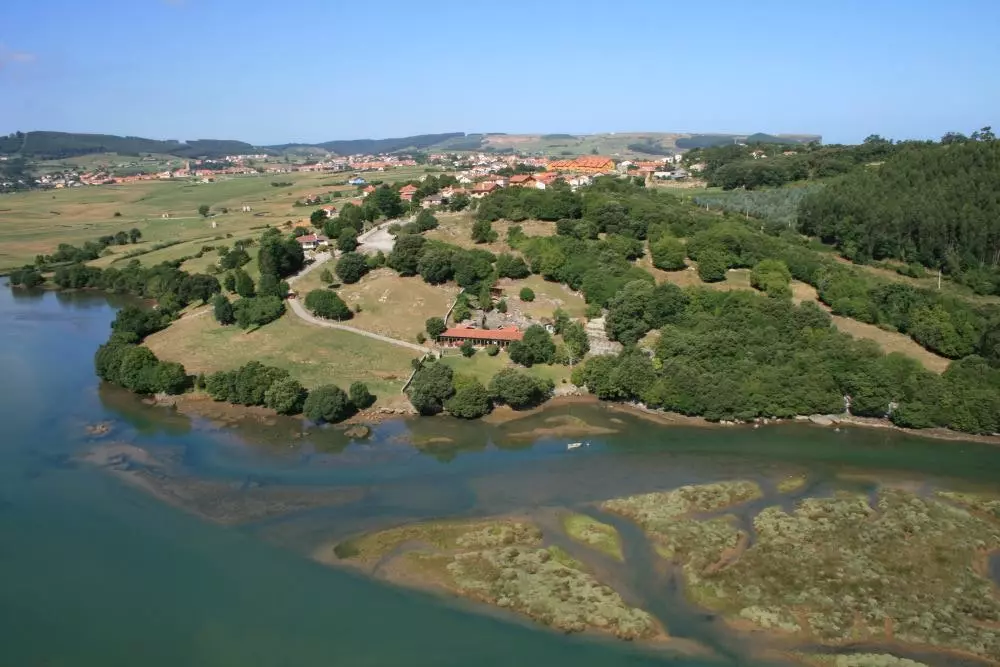
View of the estuary from the air.
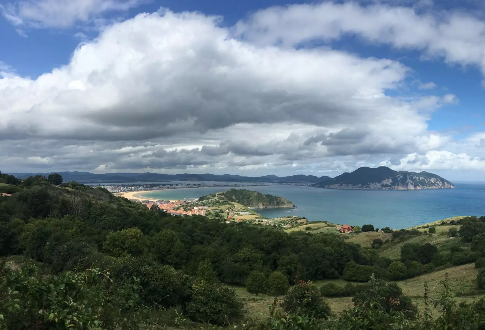
It is advisable to eat with restraint in Garlic if we want face the stage to Santander with some good pace. Nearby is the lighthouse painted by Okuda, which has brought so much controversy to Cantabria, and whose avant-garde design has increased the number of visitors who went every summer to Cabo de Ajo, the northernmost of the autonomous community.
far from the lighthouse, the mountain that separates Ajo and Ribamontán al Mar is an incomparable viewpoint of the path what we have done and what awaits us. In front of us, to the west, Santander Bay invites you to cross to enjoy the city. Santander is a place that every visitor has heard of, and whose peaceful and maritime fame crosses borders. But for the moment, before crossing the bay in one of their boats, it's time to rest
To be continue…