
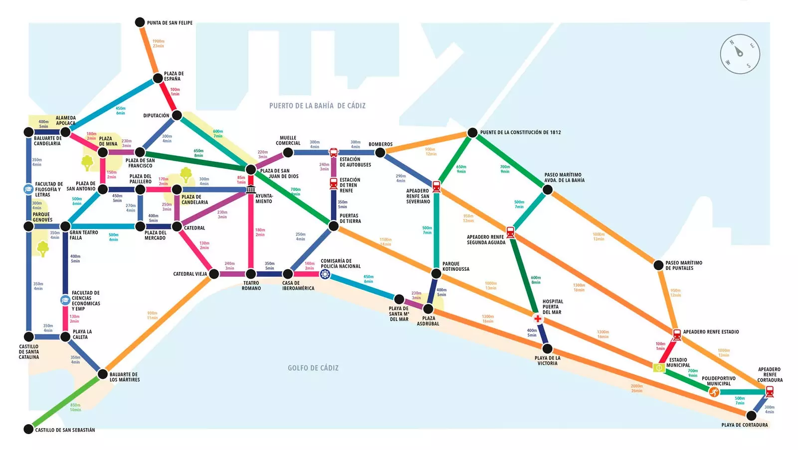
Cádiz already has its Metrominute
It looks like a subway map, but the routes are covered by another means of transport: your feet. And the “stations” are, in reality, hospitals, stations, main squares, public entities, parks… That is Metrominuto, an original sketch of the city that measures, in time and kilometers, the distances between relevant points for urban mobility. And more and more places around the world have it.
The origin, yes, is native: it is found in Pontevedra , that city that managed to beat the cars . “The city had changed its mobility by promoting walkability, but we noticed that some people were reluctant to give up the habit of going by car for short trips , which is terrible for good sustainable mobility”, explain Antón Prieto, creator of the system, and Toño Escudero, in charge of bringing it to the digital world in the form of an app.
“We wanted to show that there is nothing dramatic about walking, that the city is more livable without cars and that it pays off in terms of time and economy. and we did in a funny way , with a color map and unapologetically imitating the metro maps of large cities”, they tell Traveler.es.
In Pontevedra and Pamplona it is already in the form of an 'app'
The idea has been successfully exported, so much so that they no longer keep track of all the cities that have their Metrominute: "We estimate that must exceed fifty . A lot of blame for that is on the Walking Cities Network , a supra-municipal entity that brings together many municipalities that want to change their culture of mobility, prioritizing walking”.
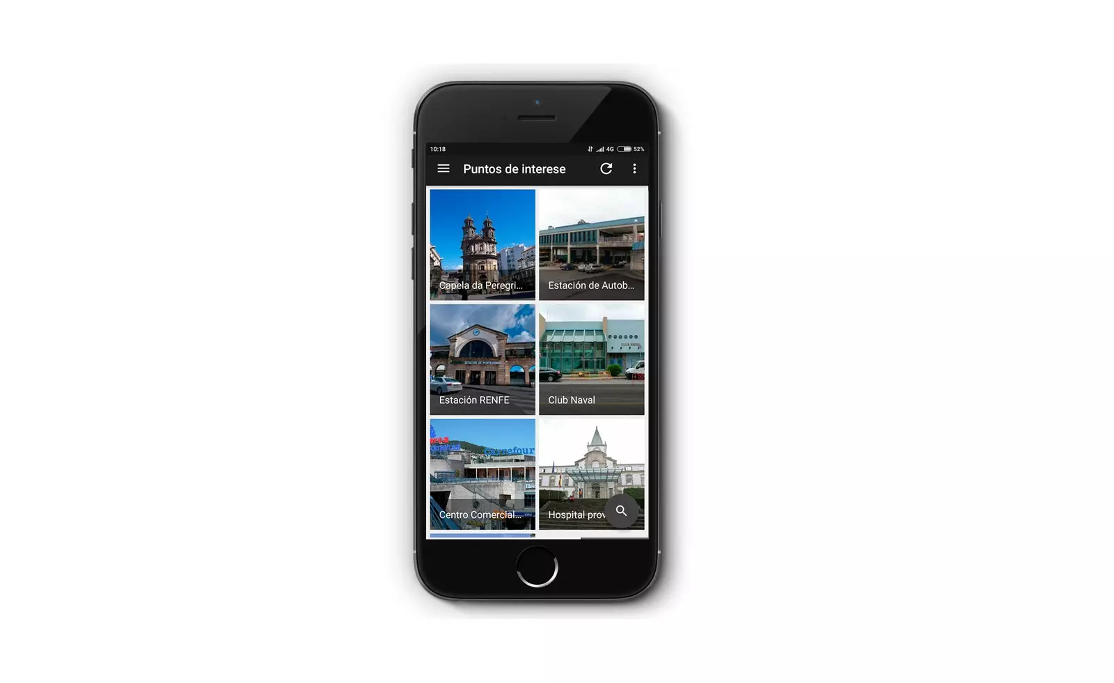
Seville, Córdoba, Vitoria, Pamplona, A Coruña, Ponferrada, León or Jerez de la Frontera, which was the first to be inspired by the idea of Pontevedra, have joined the change. And, in Europe, Florence, Toulouse, Modena, Poznan or Cagliari have also launched the idea. In Pontevedra and Pamplona, in addition, they go a step further, since the Metrominuto app is implemented there which we talked about earlier, and both Prieto and Escudero say that they know of many other cities that are doing the same.
MORE THAN A MAP
“The Metrominuto itself is not a global mobility system, but a kind of advertising campaign that plays with the iconography of the metro. But, for many cities, it is the first step to start taking the change in your mobility system seriously ”, affirm these experts.
However, they recognize that, in order to make way for cities that are friendlier to pedestrians, other measures are also required, including the restriction of motor traffic and indiscriminate parking, pedestrianization, the widening of sidewalks, calm of traffic to reduce road violence, universal accessibility… “They are a set of actions that guarantee that the right to public space is at the same level as education or health for all citizens, not just for car owners”, they say.
“Each city must find its own model” , acknowledge Escudero and Prieto when we ask them if it is really feasible to walk from one place to another in cities like the current ones, dominated by road traffic.
“Absolutely yes, it is feasible, without a doubt. You just have to be willing to do it. In small cities like ours, it is clear that it can if its leaders want it. When the city is bigger, with greater distances, it has to be done in a combined way: on foot or by bike and public transport. The important thing is that we know that the last kilometer can be done on foot -or in his case, by bike- , and it must be done, both for the benefit of individual and collective health, since cities are often sick with motorized stress, let alone large cities with their serious air pollution problems”, conclude the professionals.