
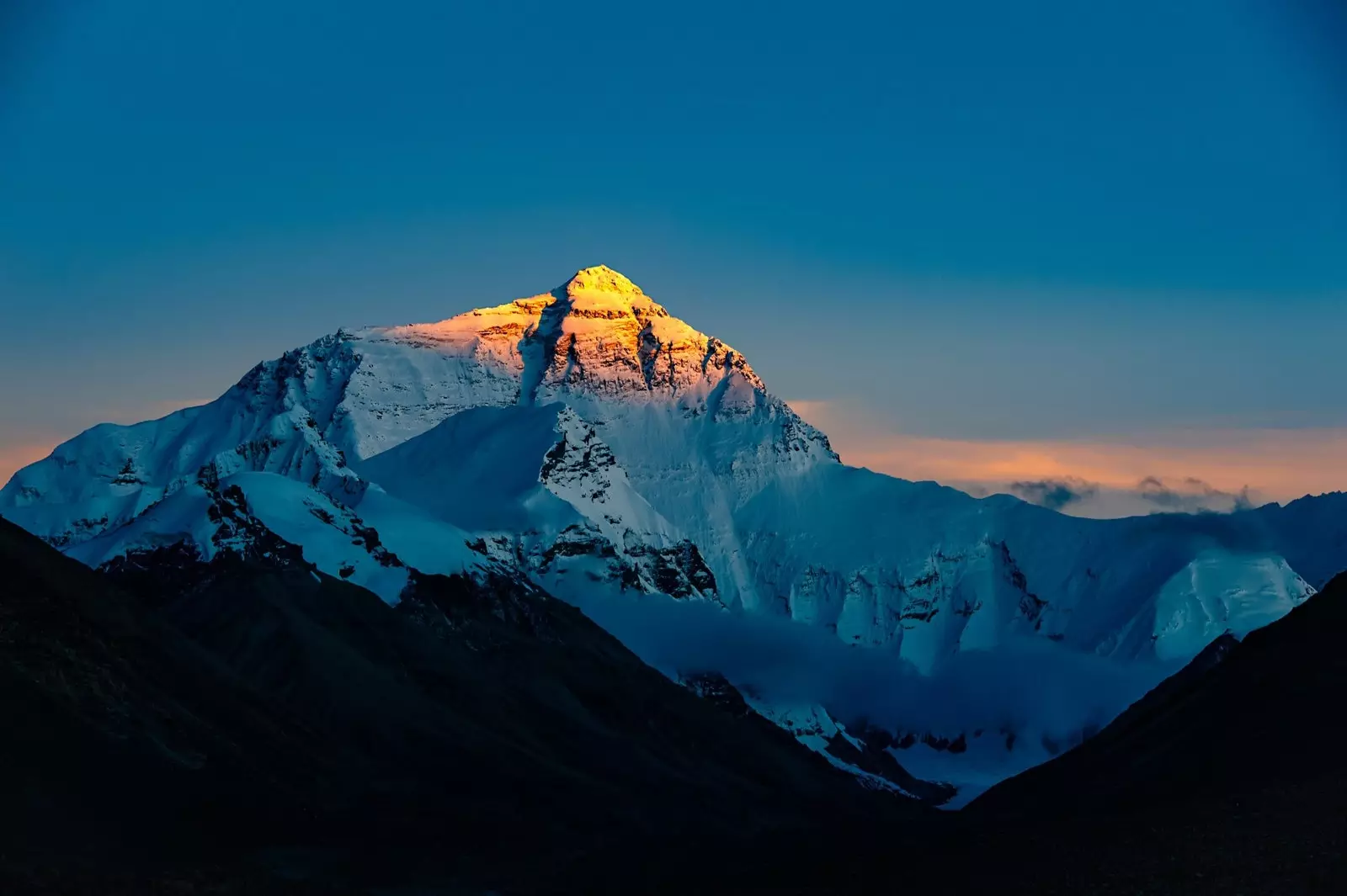
Mount Everest grows almost a meter more this 2020.
Everest continues to rise half a meter every 100 years Until then, the Chinese and Nepalese authorities have always agreed. But, how big is it really? China and Nepal do not seem to have the same opinion in this regard, although we may already have an exact figure. Several expeditions carried out by the two countries have finally hit the nail on the head.
The first carried out by Nepal has been the one that has laid the foundations, for which two years were being prepared. The expedition was not easy. they had to measure the mountain at dawn so that there would be no alterations by light , in addition to the already adverse conditions.
This new measurement places the mountain at 8,848.86 meters high , 0.86 m more than what China had measured the previous year. It seems that the dilemma was whether to measure the height of its rock (what China said) or to include the snow on the top (Nepal's bet). Finally, Nepal has determined the final height.
Images of the expedition to reach the top.
Apparently the Nepalese surveyors had stated that they had felt pressured by China in 2012 to determine the height, but they continued to believe that the definitive one had already determined it. Survey of India in 1954 . "Before this, we had never done the measurement ourselves," Damodar Dhakal, a spokesman for Nepal's survey department, told the BBC.
But there was still more. In 2015, a magnitude 7.8 earthquake struck Nepal. and the geologists believed that this would have affected the mountain in some way, so it was measured again. In fact, it had been discovered that other peaks such as the Himalayas had reduced their height by approximately one meter after the earthquake.
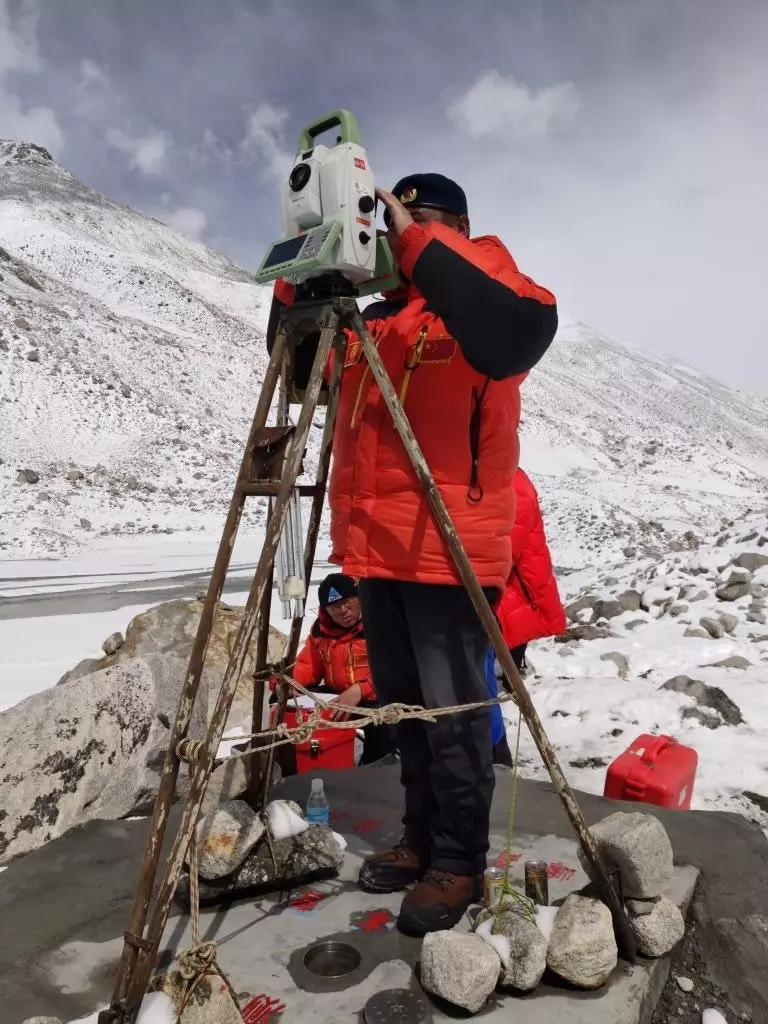
Another controversial issue between China and Nepal when measuring it was set the foundation. Any mountain is measured based on sea level, so while Nepal was based on the bay of bengal , China used the yellow sea to do it. For this new expedition, both teams agreed and established a network of stations with direct visibility about 250 km to the point where Everest was most visible.
The Nepal team of surveyors used trigonometry to measure it in 2019 and the Chinese used the same system to do it in May of this year -it was the only expedition made in 2020-. Both determined the same results: the official figure is 8,848.86 m.
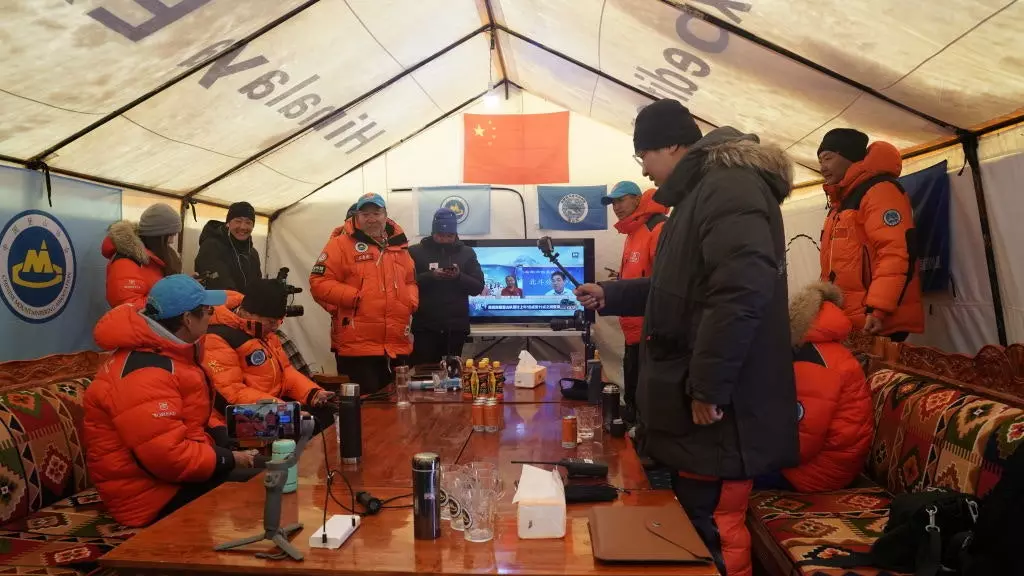
The China team during the expedition this year.